Farm Mapping New Zealand with Drones
The Best Farm Mapping Service with the most Affordable Pricing
Why Use Agridroneco for Farm Maps?
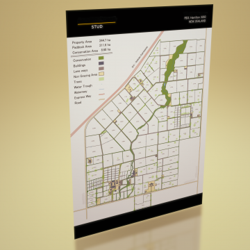
Farm maps are a critical tool for any modern farming operation. Their value cannot be underestimated as they provide a bird’s eye view of your farm allowing you, your staff and contractors to navigate and manage the farm efficiently and safely.
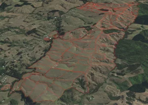
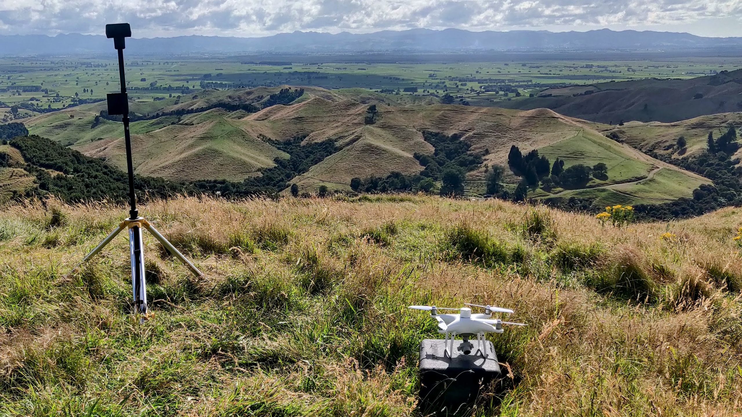
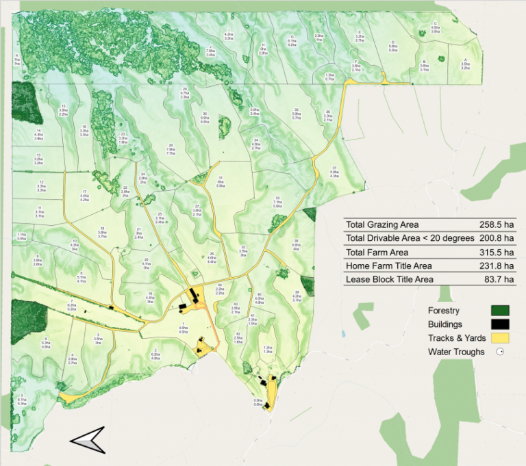
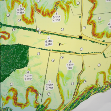
Agridroneco’s farm mapping is different to most NZ farm map providers. We primarily provide a drone mapping service which provides up to date centimetre level accurate farm maps compared to satellite imagery which is often several years out of date and only provides a 2D view. From the aerial imagery that we capture using a drone we can then simplify your farm map to suit your needs. Whether you’d like the original aerial image, a colour coded contour map or just a simplified map over a plain white background any format is possible.
Latest Imagery
Using a drone to map your farm is better than using Google Earth. Google Earth images can be a few years old, while drone mapping gives you an up-to-date view of your farm.
Farm Environmental Planning
Update your farm map and upload it to FEP to follow the new environmental rules.
Accuracy
Drones that can survey accurately are better than satellite images. Drones have an accuracy of between 1 and 3cm, while satellite images have between 1 and 5 meters accuracy. This is important for farms that use GPS-guided machinery. As technology advances, having accurate maps of your farm will become more important.
Cost Effective
Drone Farm Mapping is not as expensive as you might think. Other established farm mapping companies in New Zealand offer only satellite imagery services and their prices are similar to ours. The starting price for our services is $4.00 per hectare and a $500 base fee. Contact us if you want to know more.
Other Mapping Services
Our drones can do more than just map farms. They can take pictures of things like forests, orchards, commercial buildings, unique buildings, renovation projects, or quarries. If you need updated pictures of any of those things, contact us and we’ll make a plan just for you.
New Zealand Wide Service
We can map your farm even if it’s far away. We have bases in three areas – the Bay of Plenty, Wakaito, and Canterbury.
What You'll Recieve
We give you a farm map package that includes PDFs of the standard farm map, contour map, and aerial image. And we also give you the digital shapefile of your paddocks which you can send to your fertiliser company or council.
Farm Environment Plan
It is really important for farming to have an accurate and updated map to plan for the environment. You need to know where important sources are located and how they affect the surroundings.
Freshwater Farm Plan
Knowing your farm's shape is important for creating a Fresh Water Farm Plan. Understanding how steep hills are can help you make better decisions and decide how to use the land.
Whiteboards
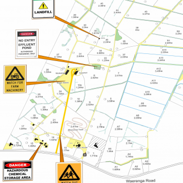
Having your farm map printed on a whiteboard can really be useful. You can add details such as break fences, show employees where to feed animals or setup an irrigator.
At Agridroneco, we’re excited to introduce comprehensive farm mapping services tailored to optimize land use and management. Our advanced drone technology allows us to accurately map essential features, including:
- Fence Lines: Precisely mapped to support boundary management and grazing rotation.
- Races, Laneways, and Roads: Streamlining access routes and movement efficiency across your farm.
- Buildings: Detailed placement for operational planning and infrastructure management.
- Grazing Areas: Optimizing pasture usage for sustainable livestock management.
- Forestry and Conservation Areas: Identifying zones for long-term ecological preservation.
- Unproductive Areas: Helping you recognize and manage low-yield sections of your property.
- Water Troughs and Water Lines: Essential for efficient water distribution and livestock health.
Our farm mapping service empowers you with precise data, enabling better decision-making and improved farm performance. Get in touch with us today to discover how we can help you maximize your land’s potential!
Request A Free Farm Map Quote
The Agridroneco Farm Mapping Process
1. Quote:
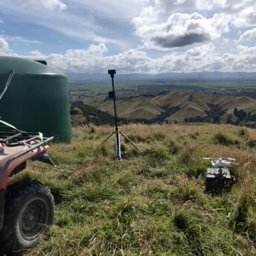
If you’re happy with our quote, we’ll arrange a farm visit to map your property.
2. Drone Survey:
With the images we collect, we’ll make a map that shows your farm’s layout and how steep it is.
3. First Draft:
We’ll send you a rough version of the map within 10 days of scanning your farm.
4. Feedback:
You can look at the draft map and tell us if you want any other details added, such as water lines, effluent areas or hazards.
5. Printing:
When you’re happy with the finished map, we can help you print and display it.
Printing and Signage of Your Farm Map
We offer a wide range of printing and signage options. From whiteboards, laminated posters, tear off pads to aluminium signs.
Shapefile Farm Maps
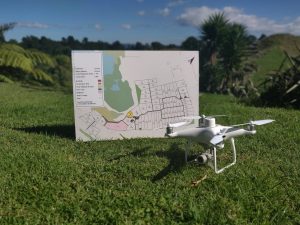
All our farm maps have a digital shapefile provided with them that can be uploaded to 3rd party software applications such as MyBallance, HawkEye, Tabula/TracMap, FarmIQ and more.
We can also provide maps in various formats such as KML and GeoJSON.
